Go to example tasks
Lockney Texas Wind Project Weekly Monitor
Created by
Local Lead Ops
Filter the official weekly FAA construction-notice feed for Lockney, Texas wind structures at least 400 ft above ground. Returns source-linked FAA identifiers, heights, coordinates, status, and action. Public-record screening only—verify the official FAA notice before acting.
FAA Vertical Project Radarambitious_ross_tj2/faa-vertical-project-radar
Source ID
Observed
State
City
+11 fieldsTextNumberBooleanListObject
Input
US state:TX
Buyer route:wind
City filter (optional):Lockney
Minimum height above ground (feet):400
Include removed or dismantled records:false
Output fields
Source ID
Observed
State
City
Structure
Height AGL
FAA action
FAA verification
Buyer routes
Latitude
Longitude
FAA study
OAS number
Official source
Verify before use
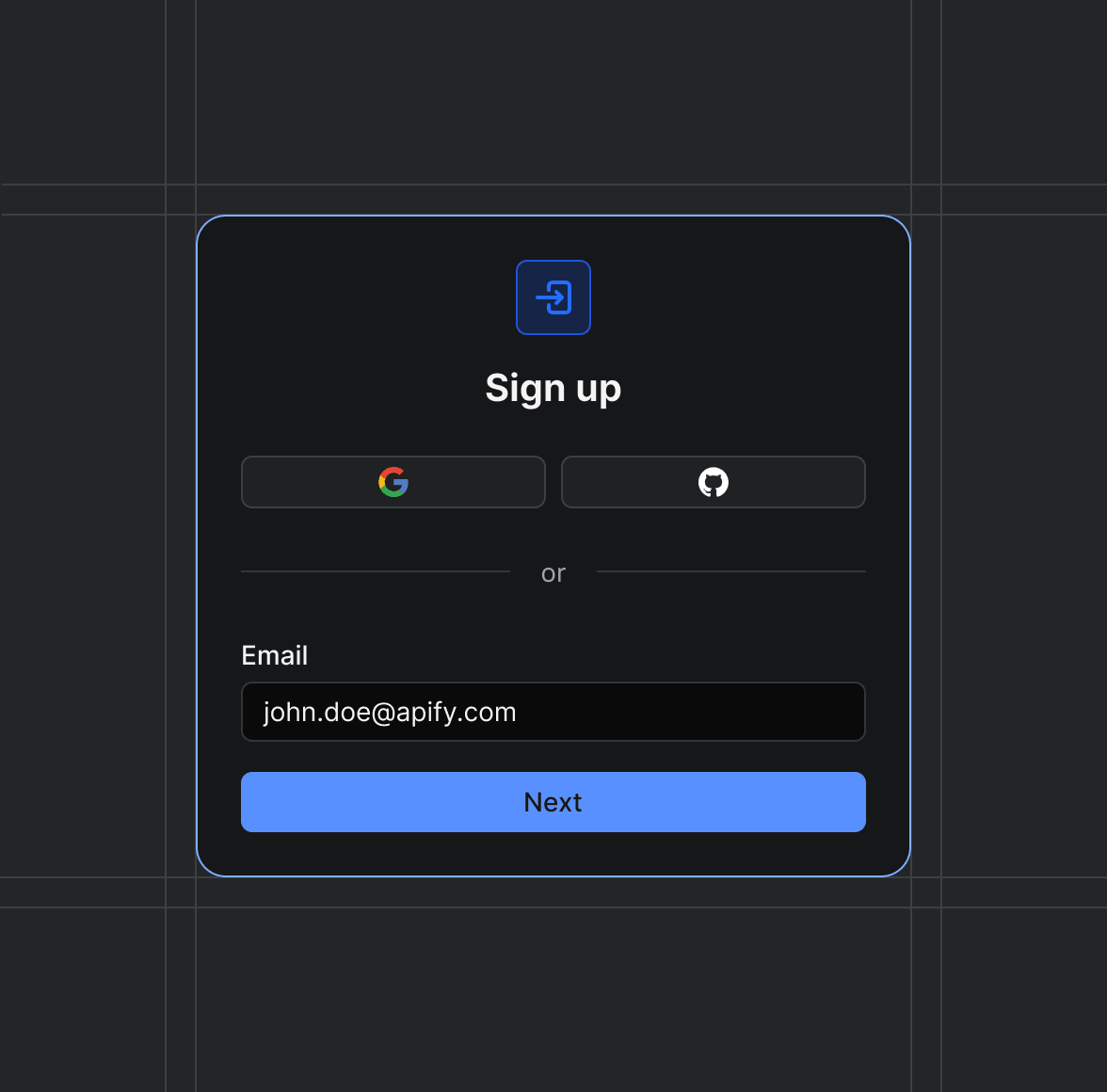
Sign up on Apify01
Create your Apify account to access the FAA Vertical Project Radar.
Start the run02
The Actor will start running based on the input automatically.
Receive the output03
Monitor the progress in real-time. You will be notified as soon as your dataset is complete and ready for review.
Integrate into your workflow04
The final output is delivered in JSON, CSV, or Excel format, ready to be plugged into your workflow.