Go to example tasks
Reverse-geocode Berlin GPS coordinates
Created by
Automation Lab

Convert supplied Berlin latitude and longitude pairs into nearest Photon addresses with coordinates, place types, and OpenStreetMap identifiers.
Photon Geocoding Scraperautomation-lab/photon-forward-reverse-geocoding
Mode
Query
Rank
Normalized label
+6 fieldsTextNumberBooleanListObject
Input
Reverse geocoding coordinates
Latitude(required):52.516275+1
Longitude(required):13.377704+1
Preferred language:en
Maximum output records:2
Output fields
Mode
Query
Rank
Normalized label
Place type
Latitude
Longitude
Country
OSM ID
Retrieved at
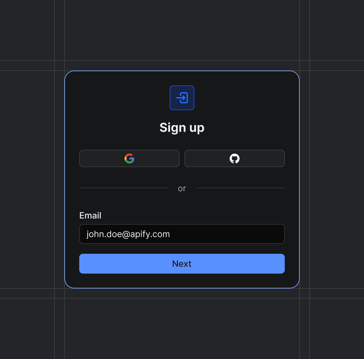
Sign up on Apify01
Create your Apify account to access the Photon Geocoding Scraper.
Start the run02
The Actor will start running based on the input automatically.
Receive the output03
Monitor the progress in real-time. You will be notified as soon as your dataset is complete and ready for review.
Integrate into your workflow04
The final output is delivered in JSON, CSV, or Excel format, ready to be plugged into your workflow.