Go to example tasks
Monitor elevation data for agent site-planning loops
Created by
Dennis

Monitor AHN ground and surface elevation for development sites — structured feed for agent site-planning, solar-feasibility and drainage-assessment loops.
NL AHN Hoogtedata Lookup per Adrescodeclouds/nl-ahn-hoogtedata-lookup
Input
Resolved address
Ground level (m NAP)
Surface height (m NAP)
+3 fieldsTextNumberBooleanListObject
Input
Locaties(required):Bathseweg 27, Rilland+1
Gelijktijdige verwerking:2
Output fields
Input
Resolved address
Ground level (m NAP)
Surface height (m NAP)
Above-ground height (m)
AHN coverage available
Error
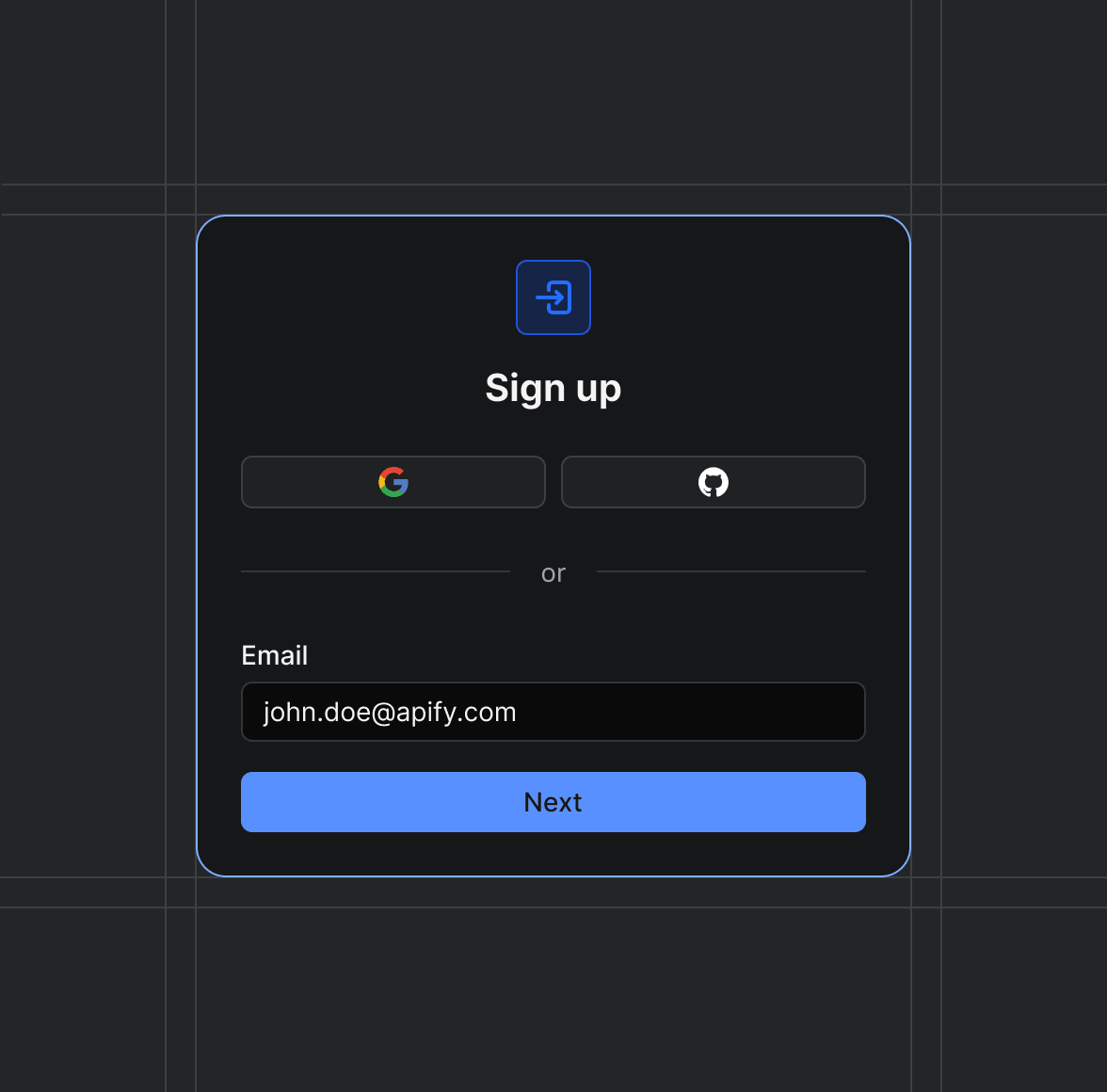
Sign up on Apify01
Create your Apify account to access the NL AHN Hoogtedata Lookup per Adres.
Start the run02
The Actor will start running based on the input automatically.
Receive the output03
Monitor the progress in real-time. You will be notified as soon as your dataset is complete and ready for review.
Integrate into your workflow04
The final output is delivered in JSON, CSV, or Excel format, ready to be plugged into your workflow.