Go to example tasks
Walking Distance Analysis for Retail Site Selection
Created by
Crawler Bros

Calculate walking distances from potential retail locations to high-density residential areas or public transport hubs. Optimize site selection by understanding
OSRM Route Planner Scrapercrawlerbros/osrm-route-planner
Record type
Profile
Start coordinate
End coordinate
+2 fieldsTextNumberBooleanListObject
Input
Mode(required):matrix
Transport profile:walking
Start coordinate:51.5074,-0.1278
End coordinate:48.8566,2.3522
Intermediate waypoints
Origins (matrix mode):34.0522,-118.2437+1
Destinations (matrix mode):34.0500,-118.2500+1
Start URLs
Max items:100
Output fields
Record type
Profile
Start coordinate
End coordinate
Distance meters
Duration seconds
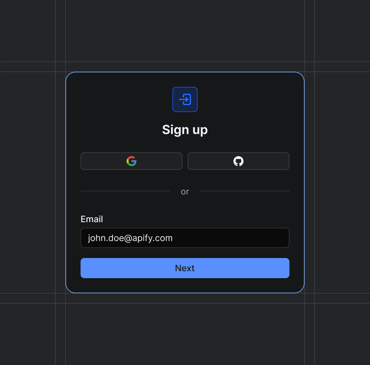
Sign up on Apify01
Create your Apify account to access the OSRM Route Planner Scraper.
Start the run02
The Actor will start running based on the input automatically.
Receive the output03
Monitor the progress in real-time. You will be notified as soon as your dataset is complete and ready for review.
Integrate into your workflow04
The final output is delivered in JSON, CSV, or Excel format, ready to be plugged into your workflow.