

Uk Postcode Lookup Scraper
Pricing
from $2.99 / 1,000 results
Uk Postcode Lookup Scraper
Bulk geocode UK postcodes or find nearest locations from coordinates. Export enriched location data including district, ward, and constituency directly to CSV, JSON, or Excel.
Pricing
from $2.99 / 1,000 results
Rating
0.0
(0)
Developer

B2B Lead Generation
Maintained by CommunityActor stats
0
Bookmarked
2
Total users
1
Monthly active users
6 days ago
Last modified
Categories
Share
UK Postcode Lookup: Bulk Geocode
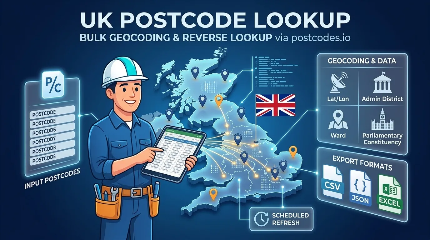
Lookup UK postcodes for a batch of location codes, or quickly find the nearest postcode using latitude and longitude coordinates. Designed to handle data in bulk, this tool processes entries efficiently and outputs structured details including geographical coordinates, administrative districts, wards, and parliamentary constituencies. Results can easily be exported to CSV, JSON, or Excel.
Instead of manually checking postcodes one by one, you can convert lists in bulk and get accurate, structured location data for every match.
Use Cases
- Address lists: Convert postcodes into latitude and longitude coordinates for mapping and spatial analysis.
- Store & location search: Reverse geocode coordinates to discover the nearest postcode, ward, and district around a specific location.
- Constituency work: Retrieve parliamentary constituency names and local administrative districts alongside your location data.
- Spreadsheet cleanup: Export results directly to JSON, CSV, or Excel to join enriched spatial data back to your primary dataset.
- Automated updates: Run scheduled lookups whenever mailing or store lists change.
Extracted Data Points
The tool gathers key location metadata for each entry, including:
- Standardized UK postcode
- Latitude and longitude coordinates
- British National Grid eastings and northings
- Admin district, ward, parish, and county
- Country and electoral region
- Parliamentary constituency (including updated 2024 boundaries)
- Health authority (NHS), CCG, and primary care trust references
- Index of Multiple Deprivation (IMD) rank
Input Options
| Parameter | Type | Default | Description |
|---|---|---|---|
mode | String | lookup | Use lookup to search postcodes, or reverse to find postcodes near lat/lon points. |
postcodes | Array | ["SW1A1AA"] | List of UK postcodes (one per line). Used in lookup mode. |
reverse | Array | [] | List of objects containing lat and lon. Used in reverse mode. |
maxItems | Integer | 100 | Maximum number of rows to retrieve (up to 1,000). |
timeoutSecs | Integer | 300 | Overall run limit in seconds. |
requestTimeoutSecs | Integer | 30 | Timeout per request in seconds. |
Example Input (Lookup Mode)
Example Input (Reverse Mode)
Output Format
Output Fields
postcode: Standard formatted UK postcode.longitude/latitude: WGS84 geographic coordinates.eastings/northings: British National Grid spatial references.country: Country name (e.g., England, Scotland, Wales, Northern Ireland).region: Geographical region.admin_district: Local authority district name.admin_ward: Local electoral ward name.parliamentary_constituency: Westminster constituency.parliamentary_constituency_2024: Post-2024 revised constituency boundary name.incode/outcode: Inward and outward postcode components.index_of_multiple_deprivation: Relative deprivation rank score.
How It Works
- Reads the selected mode (
lookuporreverse) and prepares batch parameters. - In lookup mode, postcodes are processed in efficient batches of up to 100 entries. In reverse mode, coordinates are mapped directly.
- Automatically retries temporary connection issues or rate limits using polite retry intervals.
- If an invalid or unresolvable postcode is encountered, an error status is recorded for that specific line while continuing through the rest of your dataset uninterrupted.
- Once complete, your dataset can be downloaded as JSON, CSV, or Excel.
Frequently Asked Questions
How many postcodes can I process at once?
The default limit per run is set to 100 rows, but you can increase maxItems up to 1,000 rows per run.
What happens if a postcode is invalid or not found?
Invalid postcodes or unresolvable coordinates generate an error entry explaining the issue. The process continues seamlessly so the rest of your input list is completed.
Can I convert coordinates back into postcodes?
Yes. Set mode to reverse and pass latitude and longitude points in the reverse array.
Legal & Compliance
Trademark Notice
UK Postcode and related names, logos, and trademarks belong to their respective owners. Their mention in this documentation is strictly to identify compatibility and data utility, and does not imply affiliation, sponsorship, or endorsement.
Disclaimer
This tool is an independent utility and is not affiliated with, endorsed by, or officially connected to third-party data providers. Users are responsible for ensuring their usage complies with relevant terms of service, attribution requirements, and local regulations.
Is web scraping legal?
This tool collects publicly available location data without bypassing access controls. Collecting public data is standard practice, but proper compliance requires considering how the data is used:
- Personal data: Ensure that dataset usage respects regional privacy regulations such as the GDPR or CCPA when combining outputs with personal user records.
- Copyright & Terms: Respect the terms of use, usage limits, and licensing terms set by the data source.
- Legal advice: This summary is provided for general informational purposes and does not constitute formal legal counsel.


